
Episode 13: Knights of the Nearshore
/
We may have been scared, but still had time for selfies!
In Episode 13: Knights of the Nearshore, we talk about how we almost didn’t make it out alive in the San Juan Islands, the impacts of our armored shorelines, how to coax the hard armor off, how to use GIS to find your identity, and opportunities for shoreline monitoring.
Jen shared a harrowing tale of near escape from rough waters while kayaking in the San Juan Islands. Will we make it out alive?
Nearshore Knights
Our Armored Shoreline
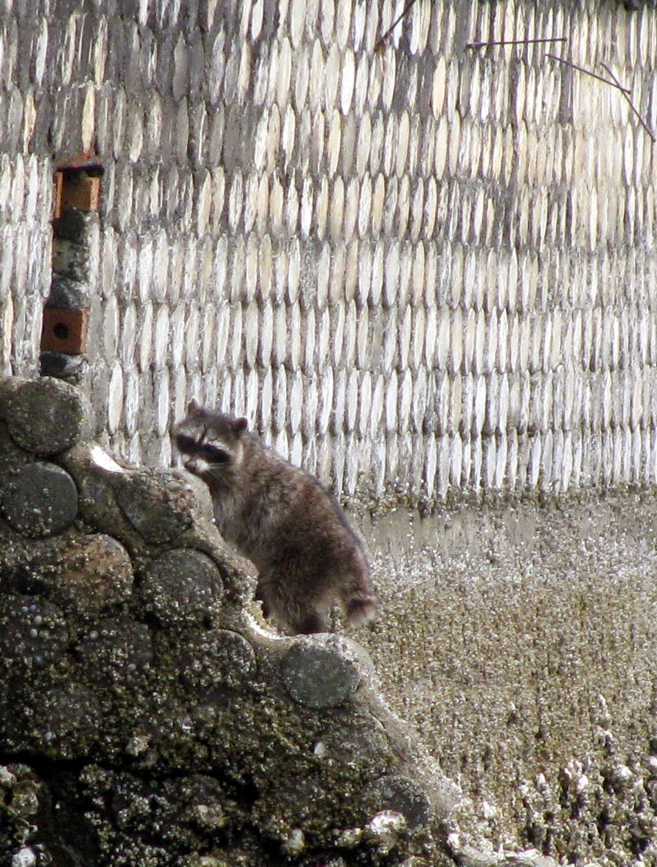
that’s one way to hard armor a shoreline and a bob-tail raccoon!
In this episode we discussed how we turned our shorelines into knights, by armoring them, and how we can turn them back into soft, supple, better beaches by mimicking natural processes.
What is hard…shore armoring?
Shoreline armoring includes activities that harden the shoreline, such as seawalls or bulkheads. Many of these structures were initially built to stabilize the shoreline from erosion and wave action with the assumptions that this would result in the protection of property and structures. However, most Puget Sound beaches have a low to moderate erosion potential where hard armoring isn’t necessary. In many areas, where some shoreline stabilization is needed, a more natural approach can be taken to preserve the shoreline, which may include a technique called soft shore protection.
Hard armoring results in a loss of beach, through scouring and by blocking the flow of sediment from feeder bluffs to replenish nearby beaches of sediment. This worsens erosion on nearby beaches and harms the ecological balance needed for the survival of forage fish, juvenile salmon, shellfish, and other native species. Natural erosion is important for nearby beaches, as beach sediment is cyclically eroded and replenished, and nearshore ecosystem processes. According shorefriendly.org, “We now know that bulkheads are unnecessary on most Puget Sound shorelines and can actually worsen overall erosion. They also damage delicate habitat that is crucial to the survival of our coastal species, from insects and seabirds to salmon and orcas.”

Yeah and how are the deer supposed to get on and off the beach? And see how and where the water flows onto the beach? all of these shoreline practices have impacts to the shoreline!
Beaches are made of sand and gravel that is moved from nearby bluffs and beaches by shoreline processes like wind, waves and currents. Over 90% of Puget Sound Beaches are fed sediment from eroding bluffs, meanwhile 33% of bluffs are unable to replenish beach sediments due to shoreline armoring. Sediment transport typically happens within definable areas, and these areas are called drift cells. There are over 800 drift cells in Puget Sound. Check out the Washington Department of Ecology’s Coastal Zone Atlas for maps of specific drift cells which show where sediment is originating and how it moves within the cell.
The shorefriendly website also has some great links that show how sediment moves across the shoreline in several locations throughout Puget Sound, such as Dungeness Spit and Eagle Point.
What are soft shore protection techniques?

A natural shoreline has built in shoreline stabilization, such as these trees on the beach and the overhanging branches of the upland trees…
The best option for the shoreline is to leave it natural and allow for the natural processes to continue. However, keep in mind, there are sites within Puget Sound where some kind of armoring is necessary, especially to protect existing property. All beaches have some built-in protection against erosion: the sands and gravel dissipate wave energy, and vegetation and drift logs serve as a buffer in front of bluffs.
Soft shore protection techniques generally include some combination of native plantings, anchored drift logs, gravel berms, sand replenishment, and site re-contouring, which more closely mimic the natural system. Typically these systems are engineered to withstand nearshore wave and erosion energy. These systems still impact nearshore habitat, but do so in a way that is less so than traditional hard armoring.

NATURALIZED shoreline with a bulkhead in between. Notice how the non-hard armored sites have full access across the beach

Also, instead of having a wall along your property which prevents access to the beach, the entire beach becomes accessible, so you actually gain beach access by installing soft protection techniques.
Want to say, “I’m Shore Friendly”?
If you are a shoreline landowner and you want to know more about erosion potential of your beach or the best practices to minimize shoreline erosion and better protect your property from the impacts of climate change or get help with streamlined permitting with your local jurisdiction, check out the Shorefriendly program coordinated by the Washington Department of Natural Resources and Fish and Wildlife. Most Puget Sound counties have free services that range from workshops and individual site assessments, to free engineering designs at sites that want to replace hard armoring with soft armoring techniques.
You can also check out the Green Shores program, which is a credit and incentive based program, kind of like the LEED program, available for Lake Whatcom and San Juan Island County.
Here are some additional resources on permitting and a flowchart/handout that talks about the different shoreline protection options based on the type of upland shoreline. Or check out the Department of Ecology’s Soft Shore Stabilization Implementation Guide, or the Shoreline Armoring Website.
Seahurst Beach Restoration and Seawall Removal Project

Seahurst beach seawall 2013 pre-restoration (even a little creosote hanging out on the beach!)
After learning about the impacts from shoreline armoring, we discussed the beach restoration project at Seahurst Beach park, which is located in Burien, Washington between Tacoma and Seattle. The waterfront area of the park was hard-armored with a concrete and rip-rap rock wall in the 1970s. Since then the beach had dropped 3-4 feet due to wave action and scour and being cut off from its upland sediment source.

seahurst beach, north end of the park, seawall with rip-rap rock dropped at the toe to minimize undercutting erosion along the wall - 2013
The City of Burien determined that maintaining the existing wall was going to be more expensive than just removing it and restoring the beach, which would both provide better public access opportunities and minimize the costs to maintain the shoreline, and improve habitat.
This was the biggest sea wall removal project in Puget Sound to date. In total over ¾ of a mile of beach was restored and the project created 169 acres of nearshore habitat, highly desired real estate for spawning forage fish and juvenile salmonsies, in addition to a stew of other native species!
The most recent phase of the project, which was completed in 2014, involved the removal of bulkhead and lawn terraces, and restoring a more natural pebbly beach habitat, while also reconnecting the beach to the adjacent feeder bluffs allowing the beach to be replenished and instead of just continuing to erode away, as it had when the feeder bluffs were cut off by the seawall.
This project demonstrated that seawall removal can result in years of improved community access. It eliminated the need to repair and continually maintain the existing failing sea wall, which would not have solved the problems related to the beach eroding away, and it improved habitat for critical species in Puget Sound. So, if you’re in the area, just northwest of SeaTac, you should check out Seahurst Park. Bonus, it's also a great place to access the beach! Check out their photos of the restoration project!
Since the beach restoration project, the City of Burien is also working with DNR on removing creosote treated wood that has washed up onto the shoreline at Seahurst Park. If you want to learn more about creosote removal in Puget Sound and how you can report creosote wood that has washed up onto a beach, listen to our last episode, Pirate/Ghost Ships and Rail Dock Ribs!
Using GiS to learn about our identity
Drift Cells and sediment transport along the nearshore
Check out the GIS Blog to learn more about how mapping sediment and other features is important for prioritizing removal of hard armoring (and to learn about the Identity tool).
DIY Monitoring Project Design
Just like a real scientist

Cool cat, prolly taking some observations for a study they created right meow!
If you don’t want to wait for a potential citizen science project, why not create your own? You can help out by monitoring the shoreline in a number of ways by using the Shoreline Monitoring Toolbox. This Toolbox is maintained by Washington Sea Grant and includes tools and protocols developed by many projects and organizations (such as protocols for mapping shoreline armoring developed by Coastal Geologic Services during the Beach Strategies project mentioned in the GIS segment).
If your group wants to do a monitoring project but isn’t sure what to monitor, there’s even a decision tree to help you get started.
Thanks for joining us!
Please don’t forget to rate, review and subscribe on Apple Podcasts, Stitcher, or wherever you get your podcasts (like Tune In, Castbox Himalaya, iheartradio, etc). Please let us know what you think in the comments below, or on our Facebook page. Also, if you are more visually inclined, check out our YouTube page!